Rosales is a 1st class landlocked municipality of Pangasinan Province in Region 1, Philippines. It is considered the gateway to the Ilocos Region and Baguio City with the two major highways passing through it namely: the Macarthur Highway and the Tarlac-Pangasinan-La Union Expressway (TPLEx). It is famously called Carmen although the latter is just a barangay which has been split into Carmen East and Carmen West.
Profile of Rosales Municipality (Geography)
Location –> Eastern part of Pangasinan in the northern part of the central plain of Luzon (See map below)
Neighboring Towns –> Villasis (north), Balungao (east), Cuyapo in Nueva Ecija (south), San Manuel in Tarlac Province and Santo Tomas (west)
Area –> 66.39 km2 (25.63 sq mi)
Population –> 63,081 (2015 Census)
Revenue (2016) –> 185,256,501.82
Barangays –> 37
Terrain –> Lowland
Industries –> Agriculture, Trading, Tourism
Major Products –> Rice, Vegetables, Corn, Poultry, Handicraft, Home-made Food Items
People/Language –> Ilocano, Tagalog, English, Pangasinense
Legislative District –> 6th
Government Officials
Go here to see the elected municipal officials of Rosales.
History of Rosales
Rosales was organized as a pueblo on March 16, 1852.
Economy of Rosales
Although Rosales is an agricultural town where rice is the predominant product, it serves as a commercial and financial center for its neighboring towns. Its strategic location in the junction of three provinces (Pangasinan, Nueva Ecija and Tarlac) makes it accessible to many people. Two major highways to the northern part of the country pass through it.
Rosales is home to a branch of Manila-based SM Malls.
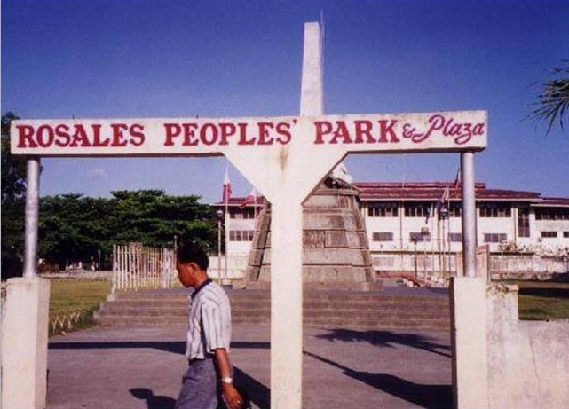
Tourist Spots in Rosales
Rosales People’s Park
Saint Anthony of Padua Parish Church
Our Lady of Mount Carmel Parish Church
Festivals in Rosales
Tinapa Festival
Map of Rosales Municipality in Pangasinan
See also: Profile of Mayor Susan Casareno, Governor Amado Espino III
I spent 10 days around there and I used to go to the mall